|
Dominica |
|
|
Dominica |
|
![]()
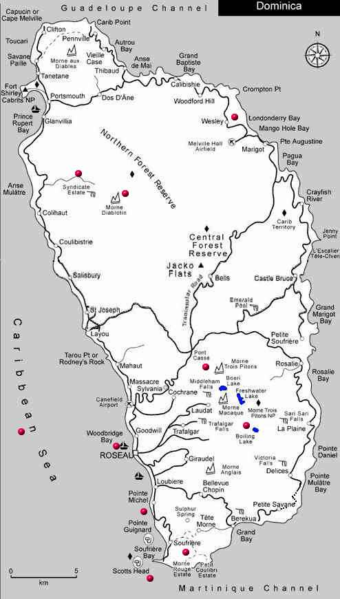
Click near one of the coloured spots to learn a little more about the island.
![]()
|
So here's the weather! Can you explain any difference? |
|
| Canefield | Melville Hall |
![]()
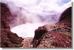
Unlike hot sulphur springs - which flow red, these are cool and white. Plants do not grow on these springs. Boa's congregate around the springs. Do you know WHAT a Boa is? If you would like to have a look at a Soufriere panorama ( with zoom ) .. click here.
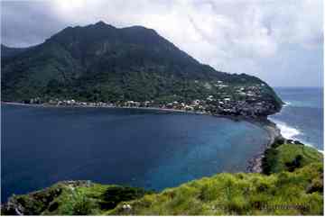
On the Head are the ruins of Fort Cachacou which was an important defence post and involved in fighting between the British and French in 1778 and 1805. To the south of the island, about a mile south of the fishing village of Pointe Michel, where the road leaves the coast and goes up into the hills, is a track down to a pebbly beach. At the end of this beach and starting a few feet into the water, is Champagne, a large area where volcanic activity causes thousands of bubbles to come from the rocks beneath the water.
The Carib Territory is made up of eight hamlets with Bataka being the largest. Other areas include Sinecou, Salybia and Crayfish River. The population is very young, with 70% being under 30 years of age. Most children of secondary school age attend St. Andrew's Methodist School in nearby Londonderry. However, a handful go to schools in Marigot, Portsmouth and Roseau. Some Caribs still make their living from the sea, but tackling the large Atlantic breakers is a highly dangerous business.
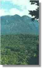
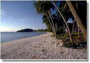
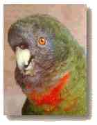
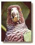
In April 1988, the lake stopped boiling at times and the level dropped by 29 feet. It has since started boiling again. Today the Lake looks like a cauldron of bubbling greyish-blue water that is usually wrapped in a cloud of vapour. The lake is approximately 200ft (63m) across and its present depth is unknown. The sides of the lake are a mixture of clay, pumice and small stones. It is believed that the Lake is actually a flooded fumarole, a crack through which gases escape from the molten lava below, rather than a volcanic crater. The Boiling Lake collects the rainfall from the surrounding hills and from two small streams which empty into the lake. The water seeps through the porous bottom to the hot lava below where it is trapped and heated to boiling point. The Lake is also the source of the White River. The Caribbean Sea is much calmer than the waters of the Atlantic Ocean. All the best beaches are at the western side of Dominica. The area of Syndicate in the Dominica's Northern Forest Reserve is perhaps the best known spot to see two spectacular birds. Dominica is home to two parrots found nowhere else.
|
![]()