Please put this address in your "{C}{C}{C}Favorites" folder so that you can return directly to it in future. It is designed to download quickly and simply give you information about walks that are organized without using any complicated layout elements or large images.
A walk number that is underlined has been altered since its original posting or is a new inclusion
Earlier walk programmes have now been removed from the web pages to save space, but copies including the reviews going back to 2001 may be obtained from Stan
Walking Group Mobile phone numbers are : 0754 6069085 and 0752 2958435 - Please note that the phones will only be operative on the morning of a walk to enable members who are running late, are lost or delayed, to contact the walk leader. If one number does not work, try the other
NB
1. Walkers are requested to carry both their U3A
membership cards and their ICE (in case of emergency) cards with
them on all walks and strolls.
NB 2. Members should consider carrying hand
sanitizer and a face covering. Members are urged to continue
with appropriate measures to minimise covid transmission.
NB 3. Numbers on walks are as always
at the walk leader’s discretion. This may well be limited. This may
depend upon a number of factors including any government diktats as
well as the nature of the walk, e.g. number of stiles.
NB 4. Where two walks
are offered in a week, if you wish to go on both walks please do not
book onto your second choice walk until the end of the week before.
This is so that members are not denied a place on any walk by early
second walk bookers.
Walk
1556
Thursday 4 May 5.5 miles (4 mile
option) Moderate/Energetic
Picnic en route
Meet
Layby on Bringsty Common SO 698 550 10:00
am for 10.15 start.
Contact Mike and
Jenny 01684
772194 week before
Directions A38 to Worcester bypass. A44 towards
Bromyard. After Knightwick go up the hill and look on your left for a pub
sign with a roof for the ‘Live and Let Live’. Turn sharp left here, the
layby is just round the corner on your right by a bus shelter, also with a
roof. (Postcode for the pub is WR6 5UW but our satnav could
not find it)
Details This is a figure
of 8 walk. The first loop, through farmland and Bringsty Common is 4
miles with 3 stiles. Some rough ground and may be muddy in places.
We go past our cars where we can collect our picnic and walk another 1.5
miles on good tracks on the Common, stopping for lunch on the way.
Lots of small ups and downs but nothing steep or too long. Total
ascent 600ft. Note: Unfortunately the Live and Let Live is closed weekday
lunch times but National Trust Members can go to the Brockhampton Estate
which is close by. This is well worth a visit and there is a food
kiosk selling hot drinks and snacks.
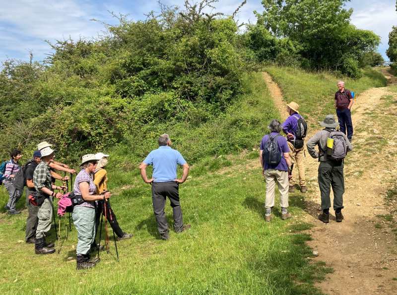
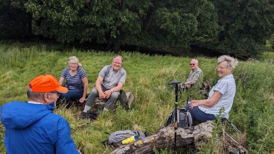
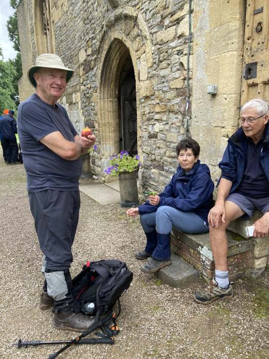
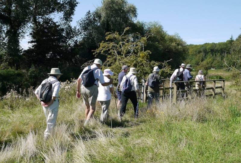
With the weather
set fair Jenny and Mike welcomed us to Bringsty Common and, with 21
followers, led us off into the countryside west of the Teme valley, a
land of folding hills and woods. There was the feeling of drifting
backwards in time and, taking coffee above the Paradise Brook only
reaffirmed this impression.
At some distance was the Palladian mansion of
Whitbourne Hall, now a wedding venue, designed by E.W. Elmslie, who also
designed Gt. Malvern railway station. Appearing to circumnavigate
the hall, (easy to lose one's sense of direction) we passed a spot which
would not have been out of place in a children's novel:
Crumplebury Farm.
Recrossing Paradise Brook, Bringsty Common beckoned,
but first, there was Herefordshire's very own version of High Stile, a
three step stile, whose middle 'plank' was more of a see-saw.
Climbing over it at a success rate in excess of school A level results,
ie 100%, M and J took us via winding paths to the summit of the common,
some 500ft, for a picnic with indescribable views of a green and
pleasant land.
On the way down, we passed a former 16th century
cider house, now a pub in the process of tasteful renovation which every
world leader from Khartoum to Moscow should visit: The Live and Let
Live.
Our thanks go to Mike and Jenny for taking us on a
walk across such tranquil countryside; good for the heart and soul, and
to our photographers Margaret and Terry, who, in 'writing with light',
revealed it to those unable to be there in, (as they used to say),
glorious technicolour.
Thanks also to Noel for his usual comprehensive and entertaining report
and to the ever dependable Margaaret and Terry for their photos - SF
Wisteria Cottage ? (Margaret)
Stroll
Tuesday 9 May 1.5
miles Deerhurst and the River Severn
Meet
Deerhurst GL19 4BX park at side of the road by the church gate for a
10.30 start
Contact Hugh and Christine 01452
780460 the week before
Directions A38 south, turn right at second traffic
lights onto B4213; fork right after 1 mile on single track road to
Deerhurst. Follow local signs to church.
Details We follow the
Severn Way on the river bank before looping back to the church, footpaths
through fields of grass.
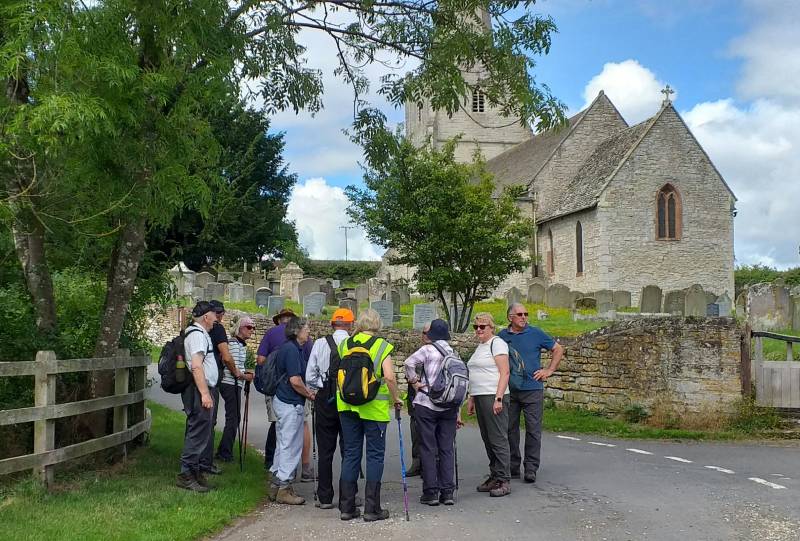
Six of us met at Deerhurst church on a morning of mixed weather. We were lucky and only had cloud followed by quite hot sunshine; we stayed dry despite rain later in the day. Sadly the rain over the coronation weekend had left the ground too wet and muddy for the original route to be sensible. Nevertheless we had an enjoyable stroll around and about Deerhurst church and through the church yard, including to the bank of the River Severn where there was an ancient hollow oak tree." (Many thanks to Hugh for devising and leading the stroll - SF)
Walk 1557
Wednesday 10
May 2.0
miles Easy
Cafe lunch
This is a talk and guided walk, costing £7.50 per head, and is organised
by our Discovering Britain Group to learn about the secret training centre
for the WWII Auxiliers.
Meet
Coleshill Estate (NT) Car Park, SN6 7PT. Grid SP 088294
arrive 10.30am.
Contact Mike and
Jenny 01684
772194 As soon as possible.
Directions Take the M5 South to J11a, then A417/A419 to
Blunsdon, where you turn left onto A417, through Highworth to Coleshill
village. Look for National Trust sign on the right to Coleshill
Estate parking. This is a journey of about 50 miles each way, so
please share cars if you can.
Details We meet our guide
in the Granary, for an introductory talk which will commence at
11am. Although the walk is quite short, there will be lots of stops
and the visit will take about 2 hours in total. You may wish to
bring a small portable seat.
There is a small café open from 10am serving drinks and light
lunches. We may be asked to order our lunches a few days ahead of
the visit.
The visitor centre is on the site of an historic and forward-thinking
model farm which we can visit after the tour. There are no extra
charges for non-NT members.
In the afternoon you can if you wish visit Buscot Park and House (NT)
which is a few miles away. Further information for both properties on NT
website.
report
Walk 1558
Wednesday 17 May 3
miles Easy
Lunch own arrangements
Meet
Alney Island Nature Reserve car park on the westbound side of the ring
road over Westgate Bridge at Gloucester, GL1 2FA, Grid 823190, for a 10.30
am start.
Contact Hugh 01452 780460 the
week before
Directions A38 to Gloucester to (A417) inner ring road,
west past Tesco, over the river and sharp left turn into car park before
A430 junction.
Details We walk around the
Alney Island nature reserve, visiting Llanthony lock, Lower Parting and
Thomas Telford’s bridge. A map of the reserve is at
https://www.gloucester.gov.uk/media/1241/alney-island-map.pdf. We can add
a diversion around Gloucester Docks if wanted. There are many lunch
options in Gloucester.
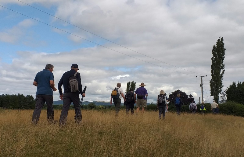
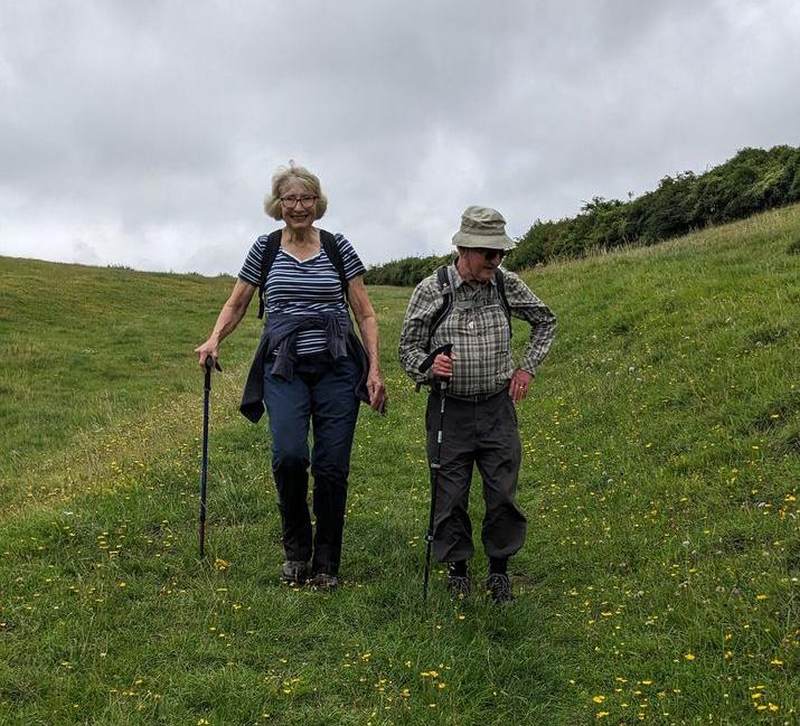
Four of us met at the Alney Island nature reserve car park on the outskirts of Gloucester. The weather was warm with some cloud but mainly sunny. We walked around the periphery of the nature reserve with a detour around Gloucester Docks where we saw several large vessels under repair at the shipyard , two of them in dry docks. The nature reserve is very rural despite being very close to Gloucester city. We saw the old Llanthony lock, Thomas Telford's original stone bridge over the western arm of the River Severn and Lower Parting where the eastern and western branches of the Severn recombine on their way to the Bristol Channel. We also passed through a herd of cows with big horns which (fortunately) completely ignored us as they lay chewing the cud. Apart from the rumble of traffic at times, it was hard to believe that we were so close to the city. It was a very pleasant morning's walk. (Thanks go to Hugh for leading and devising this walk and also sending me a report - SF))
Walk 1559
Thursday 18 May Approx 5
miles Moderate Lunch in Coffee
Shop
Meet
Nature in Art free car park, Twigworth, GL2 9PA Grid SO 842
232 9.45 am to pre-order lunch and 10.00 am start.
Contact Sally and
Sue 01684
274440 the week before.
Directions From Tewkesbury A38 towards Gloucester.
Pass Norton Garden Centre on the left take second right turn with brown
Nature in Art sign (Not first right Sandhurst Lane).
Details A walk across
fields towards Bishops Norton, up Sandhurst Hill and through the
village. Includes a short stretch of road. After lunch a
chance to look around Nature in Art gardens, visit the artist in residence
and pay for entry to 5 gallery rooms of exhibitions. (£7 or £6.50 over 60)
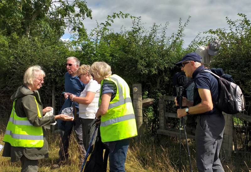
Sue and Sally chose a
wonderful Summer’s day for this walk. The sun shone
and the temperature rose as 10 of us set off from Nature in Art.
Sadly, 2 walkers had to turn back for an early coffee because of a
very narrow stile but the rest of us crossed the fields to Norton and
then climbed Sandhurst Hill, descending via Sandhurst church.
The Hawthorn was in full blossom and the hedges full of birds.
We heard skylarks and saw deer and two hares. The meadows were
in full grass and the wheat was growing well due no doubt to the
sewage works slurry being spread by a tractor in one field we were
crossing.
Lunch was in the Nature in Art café and afterwards we enjoyed walking
in their garden to see the sculptures. Many thanks to
Sally and Sue for an excellent walk. (Thanks also to Richard for
the report and photos - SF)
Walk 1560
Wednesday 24
May 4
miles+ Moderate/Energetic Pub lunch
Meet
Queen Elizabeth Inn, Elmley
Castle WR10
3HS Grid 982411. Park in pub car park or in Main Street
outside or opposite pub, meet outside pub. 09.30 for 09.45 start.
Contact Noel 01684 772526,
(after choosing from online lunch menu), the week before
Directions A46 to Hinton Cross, turn left then 3.5miles
on lanes to Elmley Castle; Turn left into Main Street
Details From the
churchyard walk and climb up to Fiddler's Knap on a quest for the Ragged
Robin; level along Long Plantation and down via Fox Hill Wood and Hill
Lane, finishing across an English flower meadow. Ascent 650ft.
On a sunny,
warm, May morning twelve of us set off from Elmley Castle village, at
the foot of Bredon Hill, on a most enjoyable walk ably led by
Noel.
The walk began at Queen Elizabeth Inn, where Queen Elizabeth 1st is
purported to have stayed with her entourage in August 1575 as she went
around her kingdom.
This picturesque Worcestershire village gets its name from an 11th
century fortress built by the Beauchamp family, but little trace of this
castle remains today.
Opposite the pub we crossed the road to St Mary’s Church which is
situated below the castle site. The Norman origins were noticeable in
the herringbone stonework on the chancel walls. Having crossed the
churchyard we began our ascent, a climb of 650 feet to Fiddlers Knapp.
We were rewarded on the way up with the discovery of a Ragged Robin
plant which had been a particular and primary quest. There was an
abundance of other wild flowers along the tracks and swathes of late
bluebells on the north slopes of the hill.
A chorus of birdsong, including the warble of a Whitethroat, accompanied
us as we walked down through Fox Hill Wood from the Long Plantation.
There were also sightings of a Yellowhammer and Kites.
The enchanting bleating of the lambs and ewes was very apparent as they
strived to find each other when the lambs had become adventurous.
As we descended the hill through woodland and crossed the flower meadow
we arrived back at the pub in good time to enjoy lunch and finish a
lovely 4 mile morning walk.
(Thanks to Noel for his usual faultless leadership and to Libby for her
first (and splendid) report)port - SF)
Walk 1561
Thursday 25 May 6
miles
Mod/ energetic Picnic en
route
Meet
Brimpsfield village hall GL4
8LD Grid 940125 09.45 for
10.00 start
Contact Jim and
Margaret 01684 296773 the week before
Directions M5 to J 11A then A417 passing the old
"Air Balloon". In about 1 mile take right turn onto B4070
towards Stroud and Birdlip. At Birdlip take the left turn to Brimpsfield,
just over 1 mile.
Details Starting in
Brimpsfield village the walk passes the polo fields then down
a wooded valley to Caudle Green before returning to
Brimpsfield along the valley below Syde. Two short climbs.
After motorway mayhem, enter
another world, the Cotswolds, and from Birdlip reach the tranquil
village of Brimpsfield. 12 walkers, including Sylvia, Walk Group
Leader, just returned from pilgrimage in Spain, led ny Ian and
Kathy 14 U3A walkers completed, and we wanted to hear about it.
Today’s 6 mile walk, in fine weather, led by Jim and Margaret,
starting from Brimpsfield, population 283 in 2011. Passing polo
fields, reminding of Jilly Cooper novels, the Cotswolds authors books
set in villages like this. Brimpsfield Manor was given to the
Giffard family by William the Conquerer. John Giffard built a
stone castle near the church, but in 1322 he fell foul of Edward II
and hanged at Gloucester. Almost nothing remains of the castle;
local people took the stone after the demise of Giffard.
Walking down a wooded valley, trees majestic in the parkland, just sad
signs of the plight of the ash trees as we made our way to the hamlet
of Caudle Green, an elegant farmhouse by the village green.
Following the River Frome, passing near the village of Syde, with
Norman church with saddleback tower, overlooking the Frome
valley. We had lunch by babbling brook, a red kite wheeling
overhead, and a mile later we were back in Brimpsfield. A
wonderful Cotswold day.
Thanks to Jim and Margaret. (Thanks also to Betty for the report and
to Jim for his photos - SF)
Walk
1562
Thursday 1 June 8 miles Moderate
/ Energetic Picnic en
route
Meet At 9.15am in the Car Park
opposite the Plough inn at Ford. GL54 5RU to share cars, (limited parking
at Hinchwick ). We can return to the Plough for a drink after the
walk.
Contact Mike and Jenny 01684
772194 the week before
Directions B4077 to Plough inn at Ford. Park and share
cars, then 3 miles after Ford turn left (Hinchwick may or may not be
signposted). In 1 mile turn right and park on verge by Hinchwick
Manor Post Code GL54 1EX Grid SP 145301
Details We walk through Snowshill Hill to Buckle Street
and return via Coronation Plantation and Hornsleasow Farm. Easy
walking, mainly on tracks, only one stile. One steady uphill through
woods at the start, the rest undulating. Energetic due to distance.
From roadside parking at
Hinchwick Manor, eleven walkers started the day with a steep walk up
through woodland to the top of a ridge that went along the
Diamond Way towards Bourton Downs. From the ridge we had
impressive views looking down onto the dry valley below and the
Cotswolds beyond. We stopped for coffee overlooking Bourton
Downs, one deer disturbed, then walked on to Snowshill Hill
farm. From the farm, still with it's clocktower, there
were great views down across pastureland to the woods of
Coronation Plantation. Next we walked along a grassy track
to Buckle Street where we turned to make our return journey through
pastures and woodland to Hornsleasow farm. We picnicked in one
of these undisturbed pastures which was rich in wild
flowers, including a number of species of orchids. From
Hornsleasow we walked back though woodland and the dry valley to our
starting point at Hinchwick.
Throughout our walk we had enjoyed seeing the countryside at it's
best, still with the freshness of spring moving into the colours of
summer. Fields of yellow Buttercups, Oceans of white Cow Parsley,
Hawthorn still covered in May blossom, Red campion in the hedge
rows. A perfect time of year to see the Cotswolds.
Thank you to Mike and Jenny. (Thanks also go to Jim for the
splendid report and photos, and to Sylvia for her photos too - SF)
Through buttercups (Jim)
Contemplation (Sylvia)
Cotswold (Sylvia)
A bit
of a break (Sylvia)
Walk 1563
Thursday 8 June 4 or 2.5 miles
Easy/Moderate Pub lunch
Meet Village Inn, Twyning on the
Green GL20 6DF at 10:15 for a 10:30 start
Contact Andrea and Bob on 01684 294676 the week before.
Directions Follow the A.38 north from Tewkesbury,
through Shuthonger and take a right turn to Twyning, just after the 50 mph
sign. Follow signs to village. Inn is on the downhill edge of the green,
park opposite the inn.
Details Walk to the Affordable Art Show at Showborough
House.
Many walking group members will have done this walk in past years, now
back on again post covid. A walk through fields and tracks over several
stiles up to Showborough House to spend some time admiring, (maybe
buying?) one of the many artworks on display there in the beautiful
garden. Refreshments available at a small cost. Returning through
orchards. The longer version is up to 4 miles with 7 stiles and only
gentle climbs. There is a 2.5 mile short version along the lane and back
with no stiles.
Message from Andrea and Bob 27/5/23:
Please could walkers use our email account if they want to come on our walk on the 8th to Showborough. Also say if they want to go on the short or long version! And if they are planning to stay for lunch.
17 of us gathered at the Village Inn in Twyning in ‘do we need a coat or not’ weather, promising warm sunshine - but with a decidedly chilly breeze. Bob led us past Twyning Manor (how did they get the roof back on after raising it up a storey?) through meadows and across stiles and along a well-maintained path through Hill End common, with a beautiful view of Bredon Hill. The weather stayed sunny and the breeze dropped - and was just enough to cool us. We spent an interesting 45 minutes perusing the art display and gardens at Showborough House before Andrea took the lead to guide us back to the Village Inn, where several walkers were served with two of the biggest faggots ever seen!
Thank you, Bob and Andrea for revisiting this annual event with us.
Report from Shirley, photos from Margaret; website by Stub
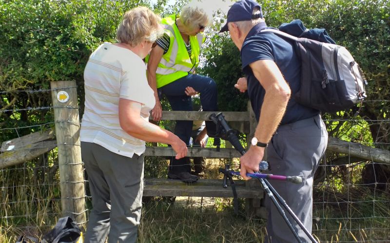
1. Conference in the long grass?
2. Confidence that the right decision has been made
3. Let’s find these works of art!
4. Too busy talking to inspect the art!
port
Stroll
Tuesday 13 June Tewkesbury Nature Reserve
Meet
Tewkesbury Nature Reserve car park, Grid 898318, for 10.45 start
Contact Angela &
Chris 01684
294325 the week before
Directions Turn right at the traffic lights near
Morrisons supermarket onto the A38 to go along Jubilee Way. At the
first roundabout, opposite The Wheatpieces Pub, take the 3rd exit into the
small car park. Please share cars wherever possible. Parking
is free but if you wish to make a donation online go to Donate -
Tewkesbury Nature Reserve
Details We
plan to do the circular Meadow Walk which is 1.1 miles long. There
are additional paths if we wish to stroll a little further. Most of
the paths are natural grass paths so please wear appropriate footwear if
it has rained recently.
Lunch The
Wheatpieces pub opposite the nature reserve in Clifford Avenue, Walton
Cardiff, GL20 7RW, has a large car park and offers lunches from 12 noon.
Twelve of us met at the
Tewkesbury nature reserve car park on a hot and sunny day with not a
cloud in sight. The paths through the reserve had recently been mown,
so the walking was easy. We saw two groups of cattle one of which was
well hidden in trees. The ponds throughout the reserve were alive with
dragonflies, in particular with iridescent blue ones, possibly emperor
dragonflies. It was surprising that some of us, despite being
Tewkesbury residents, were quite unfamiliar with the reserve. Thus we
had an interesting and pleasant stroll very close to the town. Thank
you Angela and Chris. (Thanks to Hugh for the report - SF)
Walk 1564
Thursday 15 June Forest of Dean 4.25
miles Moderate
Lunch own arrangements, suggest Speech House hotel but they don’t take
bookings.
Meet Car Park on right hand side of
road just before The Speech House Hotel GL16 7EL ( Nearby Post Code
) 9:45 for 10:00am start
Contact John 07811164417 or Sylvia 07498486263 the week
before
Directions South on A38 to Longford roundabout. Turn
Right along A40 past Over Farm to next roundabout. Left onto A48
through Westbury on Severn and continue on to Texaco Garage on right. Turn
Right here to Littledean. Turn Right in village through the village and up
long hill. On bend take Left Turn ( which is straight on ) follow road to
the Speech House. The car park is on the right just off the road a few
hundred yards before the Speech House Hotel
Details Pleasant walk mostly wide paths through the
forest. No stiles. Some short inclines nothing steep. We may see the
cattle and horses that roam this part of the forest if we are lucky. Some
parts are narrow paths with tree roots and parts may be muddy if it has
been raining, but nothing drastic.
Note: If you wish to car share meet at Gupshill Manor car park at 8:45 to
leave at 9:00.
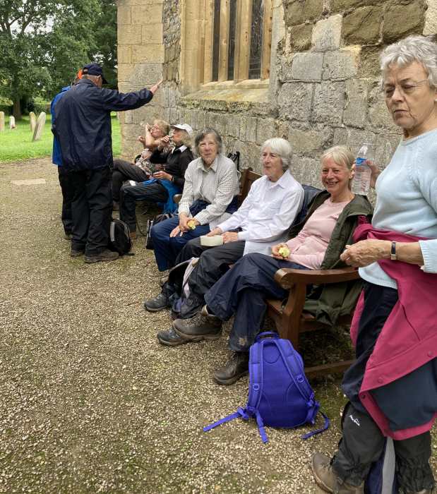
This walk was on the eve of the 2023 Ashes Series so, rather appropriately, 22 of us took part.
We met at a car park near Speech House Hotel, with the sun already shining brightly. We had been subject to an official heatwave for a couple of weeks, and I suspect that fewer of us would have turned up for the walk, if it had not promised plenty of shade from the late morning sun. So, we could really enjoy walking along tracks and footpaths in the Forest of Dean without getting overheated. We were also grateful that we had had no sustained rain recently, because some of the firm paths that we walked on can be extremely muddy.
Many of the trees that gave us shade are Forestry Commission conifers, but there were plenty of beech and other deciduous trees and, near the end, we walked through a small arboretum with more unusual specimens. Apart from trees, the local flora comprised mainly bracken and lots of stately foxgloves. We were told that we might see horses and cattle, but none appeared, and a notice at the entrance to an enclosure asked us not to feed any wild boar that we might have seen.
We enjoyed more-or-less continuous birdsong (including, I was reliably informed, from a garden warbler), we came across a slow-worm, and there were lots of dragonflies and damselflies flitting over Speech House Lake, near which we stopped for refreshments.
At the end, most of us travelled (by car or foot) to Speech House Hotel for lunch. Thanks to Sylvia and John for organizing and leading this enjoyable walk in the forest.
Report & some photos by Bob W; others by Margaret; website by “Stub”
1. Most stepping out with enthusiasm in the morning sun
2. Progressing, politely, into the shade
3. Progressing, purposefully, within dappled shade
4. Resting the legs with evident relief
From
Winchcombe 17 of us walked past Sudeley Castle and around the
estate. The route took us past large fields of wheat and
ripening barley, wild flower hay meadows and wide open views of the
Cotswolds. There were lots of wild flowers along edges of
fields and in the hedgerows, including pyramid orchards and a few bee
orchids. We saw tiny black froglets or toadlets crossing a hot
and dusty path.
In Spoonley Wood we encountered very tall nettles to get to the small
Roman mosaic floor, the site being in need of some tidying up.
Our coffee stop and picnic lunch sites were in the shade and our
descent took us to the Castle’s Cafe for refreshments on a hot and
sunny day.
Thanks to Betty and Graham for an excellent 7 mile walk (Report
by Sally, photos from Graham - SF)
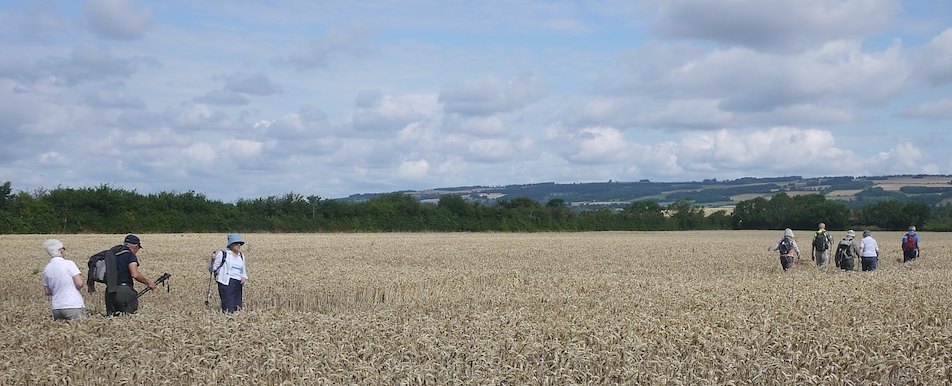
Through fields of golden barley
Walk 1566
Wednesday 28 June 5
miles Moderate/Easy Picnic - see details
Meet Adlestrop Village Hall at 9.45
am for 10.00 am start. Grid SP242272.
Contact Calvyn 01684 296684
the week before.
Directions From Tewkesbury take the A46 to Teddington
Hands roundabout, then the B4077 to Stow via Toddington. From Stow take
the A436 towards Chipping Norton, after about 3 miles the road crosses the
Worcester to Oxford railway line, very soon after the bridge take the
first left hand turning. Follow this road to a junction and take the
right-hand fork leading to Adlestrop. The village hall is in the middle of
the village.
Details This is a Fisher-Price walk. A circular walk
that takes in ‘that station’, Lower Oddington, Daylesford Stores (toilets)
and church, Daylesford House(for morning tea with Lord and Lady Bamford
(?) returning to Adlestrop via a poetry reading. Mostly field or
parkland with some road walking, one moderate hill otherwise easy walking.
Bring a packed lunch and your own hot/cold drinks as the hall has been
hired for us to eat lunch in, from1pm-2pm. (ed: Calvyn is well known for
his poetic licence.)
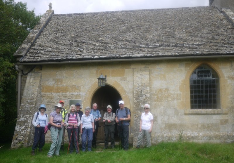
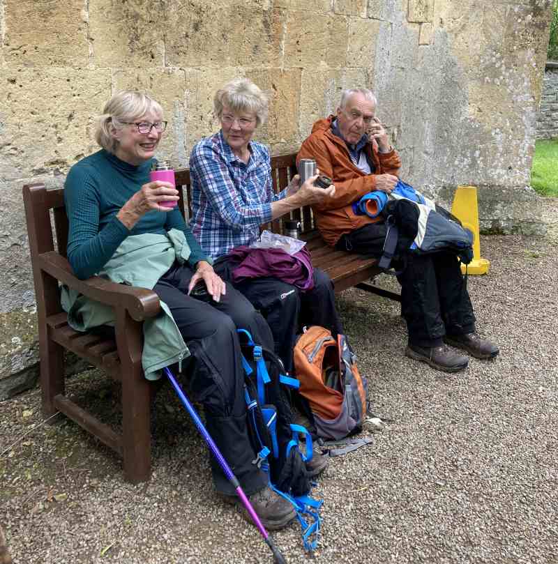
23 of us met on a warm, cloudy and dry day at Adlestrop Village Hall near Stow on the Wold. At 10am Calvyn lead the merry band of 11 men and 12 ladies on a circular walk around the Daylesford estate. The majority of the walk was on hard surfaces. As we neared our coffee stop at the famous Daylesford stores, we witnessed Lady Bamford boarding her private JCB helicopter - which meant she was unable to provide us with morning coffee, as Calvyn had promised!, We had a quick look inside the shop where a large wallet would come in handy.
We then walked on to St. Nicholas Church at Lower Oddington, which was open so we could see the interesting wall paintings in this Saxon building. From the church, we made our way to the village hall via Adlestrop cricket ground arriving at 13.15.
We were meant to be having our picnic lunch in the hall but it was firmly locked. Luckily the weather was fine so we picnicked on the grass outside the hall as we listened to Calvyn recite a poem on Adlestrop, followed by another poem recited by Richard Hart.
Thanks to Calvyn for leading an enjoyable 5,5 mile walk - without his sidekick Steve.
Report by Justin; photos by Margaret and Terry and website by “Stub”.
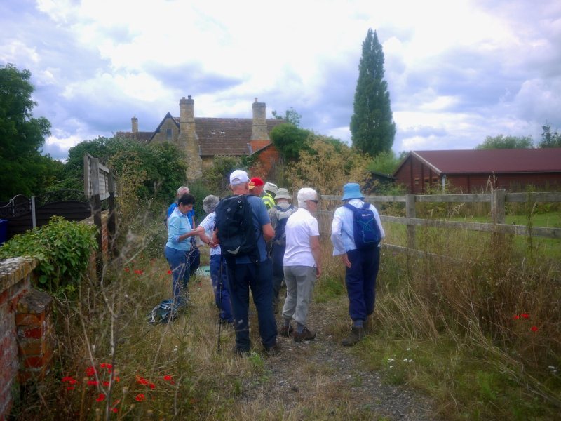
1. A too leisurely preparation?
3. Betty sharing a poem with a willing audience?
4. Looking for a welcome picnic?
Walk 1567
Thursday 29 June 3
miles Easy
Lunch own arrangements
Meet Cheltenham Racecourse Park and
Ride GL50 4SH 10.15 for a 10.30a.m. start
Contact Barry on 07751170833 (evenings) or by email to
barryms1942@gmail.com the week before.
Directions Just after Racecourse roundabout on left of
B4075 Prestbury road.
Details This is a 3 mile walk around the racecourse and
through part of Prestbury.
Walk postponed to a later date
Walk 1568
Wednesday 5
July
4.5
miles
Easy
Pub lunch
Meet Queen Elizabeth, Elmley
WR10 3HS from 9.30 to order lunch for
10.00am start
Contact Mike and
Jenny 01684
772194 the week before
Directions Bredon, Beckford. Turn left to Ashton Under
Hill, Straight on to Elmley. Take care where road narrows between
buildings. Park in Main Street (or behind Pub)
Details A fairly flat walk to Bricklehampton and Netherton.
Mainly easy walking on grass and tracks but may be long grass, rough
ground, or mud in places. One ordinary stile and 4 steps up.
On an almost
a perfect day for walking, 19 members assembled at the Queen Elizabeth
pub for this walk. A chilly breeze, some thought,
but with the sky continuing to brighten, layers were soon being
stripped off. We set off up the lane at the side of the pub and soon
entered a field where a notice board helpfully indicated the direction
of "The Combertons". After crossing a few meadows and walking NW we
were indeed soon at Little Comberton church; unfortunately for us a
service was taking place so we could not visit but it provided a
good opportunity for drinks as the temperature rose. Moving on, we
headed E to Bricklehampton, taking coffee at the church of St. Michael
and All Angels. A path from here led us to the small hamlet of
Netherton where we saw odd-looking barns and quaint houses. A notice
board informed us of the the local history and its association with a
12c Chapel. Near here we encountered our first livestock, a flock of
sheep with much more than the usual per centage of the black variety
and soon after a herd of inquisitive young cattle who stared at us as
much as we stared at them. Joining a path marked Evesham Vale Circular
Walk No.4*, a short walk to the W and we were soon relaxing in the
Queen Elizabeth. Many thanks to Mike and Jenny for a very pleasant
walk in an area unfamiliar to many of us.
*For would-be new walks' leaders looking for new walks, here is a
helpful website:-
https://eveshamramblingclub.org.uk/evcw-page-of-posts-1/
(Thanks to Terry for the report and to our ever-ready photographer
Margaret for the photos - SF)
Walk 1569
Thursday 13 July 4.5 miles
Moderate/Energetic Pub Lunch
Meet Pub car park behind The Corner
Cupboard Inn, 83 Gloucester Street, Winchcombe, GL54 5LX
9.45 for a 10.00am start
Contact Noel 01684 772526
the week before with choice of lunch please. Menu at
https://www.cornercupboardwinchcombe.co.uk/lunch.html
Directions To Winchcombe!
Details High Street to church (model of church and
original abbey; Kenelm and the story of English in brief); Winchcombe Way
up Salter's Hill; St Kenelm's Way via his well and spring; grounds of
Sudeley Castle Ascent 500 feet with wide views, all
gates as far as Noel remembers.
19 Souls set
off on a pilgrimage (of sorts) to the heights above Winchcombe.
Our first call was at the Parish Church, where the model showed the
extent of the abbey that once was the heart of the kingdom of Mercia.
It was huge! It was the burial place of two members of the Mercian
ruling class Coenwulf and his son Cynehelm, later venerated as Saint
Kenelm.
There our leader Noel took time to give a very informative talk on the
story of St Kenelm and on why we are not talking French given that was
the language of of the conquerors.
From there following the Winchcombe way we ascended Dunn Hill, passing
some cute piggies ( I hope no one had ordered BLT for lunch ..), to
our rest stop at the top. Realising the hill so called because we were
all Dunn In. We had superb views while we girded our loins and set off
now on St Kemelm way to reach the well where it is said St Kenelms
coffin rested before reaching Winchcombe abbey.
The well itself is a great find, and its fascinating and long history
is described inside the building that surrounds the well.
From there we descended to pick up the Wardens Way which passes sudley
castle. By coincidence we met some local wardens who were leading a
group of Asian ladies from Gloucester and we exchanged banter as we
went along together for a while.
Then the final leg to the Corner Cupboard, just as the first few drops
of rain appeared, for ale and laughs.
This was truly an educate, entertain and inform walk by Noel – thanks
I learnt much of interest and has prompted me to read more on
Winchcombe abbey and its history.port
(Thanks to Calvyn for the super report, and to Margaret and Terry, as usual, for their great photos - SF)
Sylvia
and Gloucester Old spots (Terry)
Walk 1570
Wednesday 19 July 4.5
miles Easy
Possible pub/hub lunch
Meet Swan Community Hub (the old Swan
Inn) car park at Staunton/Corse, GL19 3QA for a 10.00am start
Contact Lesley 07917097286
the week before
Directions A38 south, second traffic lights, turn right
on B4312 through Tirley, left at T junction and second right to Corse
(signed to M50).
Details We walk to Eldersfield church, about half
is on quiet lanes with 1 slight incline. However, some very rough walking
in places with 3 stiles, 2 fairly high.
Note: Swan hub open for drinks / snacks from 11am - 3pm
A lovely walk
led by Lesley, across grazing and agricultural fields, passing a beef
farm, and via byways and through a small copse which had evidence of
badger scrapes. There were the expected stiles to
negotiate with a bit of “ducking and diving” at a pair of them to get
through a hedge.
The sun soon broke through grey clouds and a small gathering of sheep
with young were wisely taking shelter under the trees. It
was ideal weather for walking.
The few properties in the area were grand. One near St John the
Baptist Church had a lily pond in its garden with a very large
wonderfully created fox lying down in the grass and placed to look in
its direction (maybe keeping an eye out for ducks!). It
was very intricate, depicting what appeared to be the fox in its
winter coat, and it looked to have been carved out of wood.
St John the Baptist Church, Eldersfield, is a Grade II listed medieval
building - C14 with C12 and late C13 remains - with an iconic landmark
spire. The church was restored in1876 and it has 6
bells. The graveyard contains several headstones of
generations of families and there were good views of the Malverns.
At the end of the walk, the majority of our group of 14 stayed for
lunch at The White Hart Community Hub in Staunton. (A great report
from Sue M, And lovely pics from Margaret - SF)
Ducking
and diving
Walk 1571
Thursday 20 July 4.5 miles
Moderate Pub lunch
Meet Hobnails Inn Carpark,
Little Washbourne, GL20 8NQ 9.45 for 10am start
Contact Justin
07790 721920 the week before
Directions A46 to Teddington Hands roundabout, then
B4077.The Hobnails Inn is on the B4077 Stow road after about 2 miles.
Details The walk is mainly flat with about 8 stiles
around Alstone,Beckford and Washbourne. If wet it can be muddy in parts.
14 of us set off from the Hob Nails Pub after choosing our
lunches. It was a cloudy bright day with a promise of rain after
lunch and pleasantly warm. Most of the walk was on level ground but
not easy going as the footpaths were ridged from lack of rain and
quite overgrown in places. We met about 30young curious cattle who
milled around us but they were just being friendly.
We were pleased to see butterflies as we went along: Marbled whites
and Gatekeepers seemed to be the most frequent but we also saw a Red
Admiral and a late Brimstone among the hedgerows.
We went in a large circle taking in part of Beckford and the church of
St Mary in lower Washbourne on the return leg, this is a church
maintained as an historic church by the Churches Conservation
Trust and it still has the old Victorian pews enclosing families
with a door!
The company was good and the weather stayed fair and we were very
pleased when the pub served up our lunches very quickly. More like 5
miles we thought! Thank you Justin for leading us on this enjoyable
walk with fine views.
(Thanks also that great team of Andrea and Bob for the report and photos
- SF)
St
Mary's church Little Washbourne
Walk 1572
Wednesday 26 July 5.5 miles
Moderate/Energetic Pub lunch
Meet Hill Close, Westmancote, GL20
7EW 9.45 for a 10.00am start
Contact Sylvia and George
07498486263 the week before
Directions Bredon road out Tewkesbury. Carry staight on
through Bredon to Westmancote, first turning left, Hill Close is on the
left.
Details There is a steepish climb to a panoramic
viewpoint for coffee, two stiles. Lunch will be at the Royal Oak in
Bredon. George will circulate the menu when available, as it is being
revised.
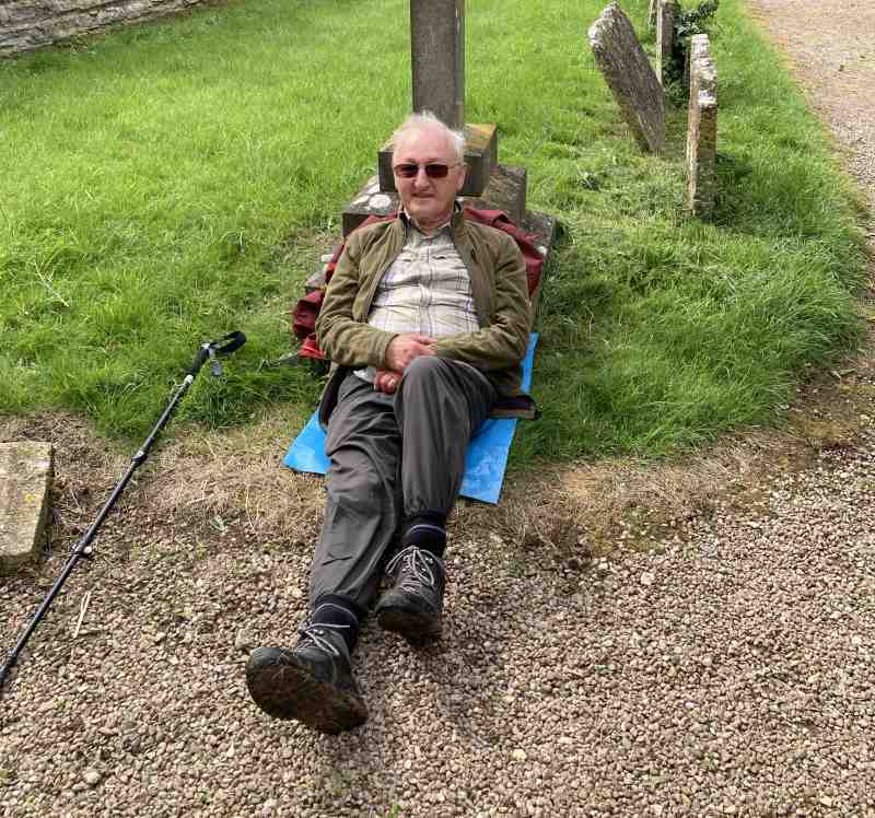
16 of us gathered at Westmancote for a walk lead by George and Sylvia. The walk took low down on the west end of Bredon Hill towards Breadon’s Norton before we headed straight up with an 11’s stop at 11:30 with panoramic view towards the Malverns. Again we were very lucky with the weather. After reaching our highest point we descended via Hill Barn back to Westmancote and then on the Bredon by car for lunch at the Royal Oak. ( Thanks go to John W for the report and the photos - SF)
Walk 1573
Thursday July 27th 5.6 miles
Moderate/Energetic Picnic on route
Meet Miserden School Car
park GL6 7JA Grid 933089 for a
10.00 start
Contact Sonia 01684 298409 the week before.
Directions M5 South to Junc 11A to the Air Balloon
roundabout, continue on
the
A417 and take the next right turn to Birdlip on the B4070. After passing
The Royal George Pub turn sharp left and follow the road for 2 miles. Just
after the Fostons Ash Pub take the left turn to Whiteway and Miserden.
Look out for the next left turn to Miserden village. The School Car park
is on the right, before the Village shop.
Details The walk is energetic because of 4 ascents, but
mostly moderate in the valley stretches. It covers a very peaceful valley
in both directions, some lane walking, footpaths and there are 3 stiles.
It being the
start of the summer holidays, we, the not so famous five, were
nonetheless welcomed by Sonia to the peaceful and attractive village
of Miserden.
Our walk took us near to the headwaters of
the river Frome, beginning with the open parkland of Misarden, which
soon turned into woodland. Passing several lakes along the
valley floor, Sonia told us how they were bedecked with daffodils and
other spring flowers earlier in the year.
Our coffee stop, dominated by two giant
Redwoods, was taken in the valley beneath Syde, one of the oldest and
smallest parishes in the country with its ancient church. Ever
merciful, Sonia spared us the 200ft climb to visit.
After all, we did have to climb up to the
head of the valley to take our picnic on the narrow green of
Brimpsfield village. Meanwhile, under increasingly blue skies
and sunshine, an elderly lady, (aren't we all?), drifted by on her way
to the old telephone box.....to collect her newspaper!
Following the briefest of siestas, we
returned via a parallel valley skirting Caudle Green, and climbed back
up the even more verdant Misarden Park to quench our thirst at the
Carpenters' Arms.
Our thanks go to Sonia for taking us on the
best part of a day's walk through this green and peaceful corner of
the Cotswolds, and to Calvyn for corroborating it with his 'the camera
cannot lie' photos.
PS Miserden village and Misarden parkland are spelt
differently. (Report by Noel -of course! Photos from
Calvyn - Many thanks - SF)
Walk 1574
Wednesday 2 August 5 miles
Easy Pub lunch
Meet Coal House Inn, Gabb Lane,
Apperley. GL19 4DN Grid 855284 9.45 for a 10.00am start
Contact Hugh 01452 780460
the week before
Directions A38 south, right at second set of trafiic
lights onto B4213. Second turning right to Apperley. At crossroads in
village straight over down Gabb Lane and follow to the end.
Details Along the Severn to Deerhurst, follow the levee
round the village, back across fields and country lanes to Apperley
Court then footpaths back to the pub, 3 or 4 stiles, gentle uphill and
steeper down. Should be dry in August but some mud if wet.
Order off pub menu below when booking by the Friday before.
In spite of
the forecast we had hardly any rain to everyone's relief. 18 of us set
off from The Coalhouse Inn by the Severn near Apperley. It was a
pleasant flat walk by the river until we peeled off towards the Saxon
Odda's Chapel. On the way to St Mary's Church we passed through the
impressive flood gates, so crucial to avoiding flooding in Deerhurst.
We had a coffee stop at the Church, then after some field walking
passed through Deerhurst. On our way back to Apperley Barry pointed
out the bearded wheat which looked as though it needed some more sun.
(Well it is August!!) At a magnificent Oak tree we descended back to
the river and were soon at The Coalhouse with a fantastic view of
swifts flying and The Malverns in the distance.
The drinks and meals were much appreciated and thanks to Hugh for
leading our walk. (Thanks also to Sonia for the report and to
Andrea for the pictures - SF)
14 Walker on a fine summers day
starred over the old bridge at Pershore. Along the river ,through the
woods above Pershore. Back along the river to the car park. No styles
on the way a most pleasant walk. (Report by George, photos by
Bob W - SF)
Walk 1575
Thursday 17 August
5 miles
Easy/moderate Pub lunch
Meet Old Bush, Upton Rd, Callow
End WR2 4TE Grid 834494
9.30 for 9.45 a.m. start.
Contact Terry & Margaret
01684 772278 the week
before
Directions North from Upton on Severn on B4424. Pub
is on the left on reaching Callow End ( up narrow drive).
Details A circular walk around the village, partly
on the flood plain, which may need altering at short notice if it
floods. Weather dependant.
report
Extra Walk 1575a - Wednesday 23 August
3 miles Easy Lunch own arrangements
Meet Cheltenham Racecourse Park and Ride GL50 4SH 10.15 for a 10.30a.m. start
Contact Barry on 07751170833 (evenings) or by email to barryms1942@gmail.com the week before.
Directions Just after Racecourse roundabout on left of B4075 Prestbury road.
Details This is a 3 mile walk around the racecourse and through part of Prestbury.
report
Walk
1576
Thursday
24 August 5 miles
Energetic Lunch own
arrangements
Meet
Mill Pond, Golden Valley,
Malverns Grid Ref. 776 371 for 10.00 a.m. start
Contact
Betty & Graham 01684 594331 or email
graham.mealand@btinternet.com
Directions
A438 Tewkesbury-Ledbury Rd. At X-Roads just after Duke of York
pub, T.R. on B4208 (Malvern), T.L. in 1 mile signed Golden Valley, and
park near Mill Pond on the Common, in half a mile.
Details
With panoramic views of the Hills, cross Hollybed
and Castlemorton
Commons
towards the Malvern Hills, stopping for refreshments at the British
Camp cafe, returning along the Hills back to the Golden Valley, a
great picnic area if you wish to stay on.
Notes for Guidance
Information for all members (revised July
2020)
Group Leader Walks
Co-ordinator
Treasurer
Sylvia Murdoch
Hugh Bennett
Tony
Barrett
01684 437462
01452 780460 01684 276960
sylviamurdoch@outlook.com
candhbennett@gmail.com
tonyandjenniferbarrett@btinternet.com
Walking
Group mobile phones: 07546069085 and 07522958435
Details
of all walks and reports can be seen at
http://home.freeuk.net/stanfagg/u3a.html
Nearly
all the photos on this page have been reduced in size and resolution
to save both space and bandwidth. Should you want a copy of any
of the photos, Stan would be happy to supply a copy of the original
file - just quote the walk number and the photo title.
To go to The Tewkesbury U3A main site click here; Tewkesbury U3A
Contacts:
Sylvia (Group Leader) 01684 437462
E Mail sylviamurdoch@outlook.com
Tony, (Administrator) 01684 276960
E Mail tonyandjenniferbarrett@btinternet.com
Hugh, (walks coordinator) 01452 780460
E Mail candhbennett@gmail.com
Webmaster . . . Stan Fagg stanfagg@freeuk.com Updated 17h Aug 2023